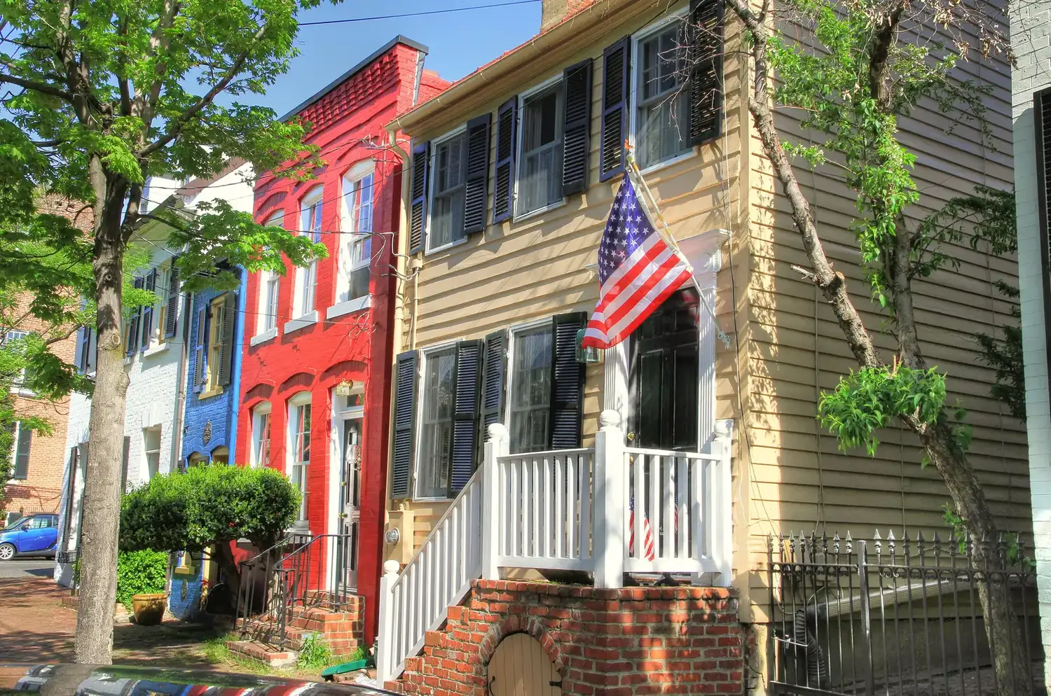
Old Town is the 551-acre riverfront plan area in ZIP 22314, mostly zoned for Lyles-Crouch. Zillow put the typical 22314 value at $866,449.
Last checked Oct. 19, 2026. The boundary is the City of Alexandria’s Old Town plan area, from its Small Area Plans map layer and the Old Town Small Area Plan (PDF). School zones come from Alexandria City Public Schools’ 2026-27 Attendance Zone Locator; ratings from the Virginia Department of Education’s School Quality Profiles; home values from the Zillow Home Value Index (Zillow Research); parks from the city’s parks map layer; associations from the city’s common ownership map; bus lines from DASH; stores and road distances from OpenStreetMap (© OpenStreetMap contributors).
Old Town is the city’s 551-acre riverfront plan area, from Oronoco Street south to Jones Point and the Capital Beltway. All of it is in ZIP code 22314, nearly all of it is zoned for one elementary school, and City Hall sits inside it. This page covers living there; for shops, restaurants and things to do, see our Old Town guide.
What this means for you
- Zoned high school: Alexandria City High School (every city address)
- Typical home value, ZIP 22314: $866,449 in September 2026, according to Zillow
- Nearest interstate exit: Capital Beltway Exit 177 (U.S. 1), about 0.6 mile by road
- Zone questions: ACPS, 703-619-8000
Where it is
The Potomac River forms the eastern edge, and nearly half of the area’s outline is the city limit: the river on one side and the Jones Point end on the south. To the north, Oronoco Street divides Old Town from the Old Town North plan area. To the west it meets the Braddock Road Metro, King Street Metro and Southwest Quadrant plan areas; South Washington Street forms much of that western line south of Duke Street.
The main streets through it are King Street, Prince Street, Duke Street, South Royal Street, South Union Street and Washington Street, which carries the George Washington Memorial Parkway through town. The Capital Beltway and the Woodrow Wilson Bridge cross the southern end. OpenStreetMap marks the Alexandria Historic District and Captains Row inside it.
Schools
Under the 2026-27 ACPS boundaries, about 98% of the plan area is zoned for Lyles-Crouch Traditional Academy. For middle school, about 81% is zoned for George Washington Middle and the northern 19% for Jefferson-Houston, a PK-8 school.
| School | Grades | Address | State report card |
|---|---|---|---|
| Lyles-Crouch Traditional Academy | K-5 | 530 S. St. Asaph St. | School Quality Profile |
| George Washington Middle | 6-8 | 1005 Mount Vernon Ave. | School Quality Profile |
| Jefferson-Houston | PK-8 | 1501 Cameron St. | School Quality Profile |
| Alexandria City High | 9-12 | Every city address | School Quality Profile |
All four are Fully Accredited. In the state’s latest School Performance and Support Framework ratings, Lyles-Crouch is Distinguished (95.76), Jefferson-Houston Meets Expectations (80.27), and George Washington Middle (85.92) and Alexandria City High (81.16) are Approaching Expectations. Check one address in the Attendance Zone Locator, and see our schools guide.
Home values
Zillow’s Home Value Index for ZIP 22314 was $866,449 in September 2026, up 3.7% from $835,155 in September 2025. The citywide figure was $662,843, up 1.0%. The same ZIP code covers Old Town North, the Braddock Road Metro area and Eisenhower East, so it is a broad guide to Old Town itself. The index is a modeled typical value for mid-priced homes, not a sale price. See our home prices guide.
Parks and trails
The city’s parks map lists more than 20 parks and public spaces in the plan area, most of them small. The larger ones:
- Waterfront Park, 1A Prince St., and Founders Park, 351 N. Union St., on the river
- Windmill Hill Park, 501 S. Union St., on the river
- Jones Point Park, 1 Jones Point Drive, under the Woodrow Wilson Bridge
- Market Square, 108 N. Fairfax St., in front of City Hall
- Shipyard Park, 1 Wilkes St., Roberdeau Park, 1 Wolfe St., and Point Lumley, 3 Duke St.
- Armory Tot Lot, 208 S. Royal St.
More in our parks and trails guide and our walking and biking trails guide.
Getting around
Distances are measured on the road network from the middle of the plan area (OSRM routing on OpenStreetMap data); they are distances, not drive times.
| To | Distance |
|---|---|
| City Hall, 301 King St. | about 0.5 mile |
| Capital Beltway Exit 177 (U.S. 1) | about 0.6 mile |
| Capital Beltway Exit 176 (Telegraph Road) | about 2.3 miles |
| Reagan National Airport | about 5.4 miles |
The King Street-Old Town Metrorail station is just west of the plan area, about a third of a mile beyond its edge, and Braddock Road is about half a mile from the northwest corner. Fare-free DASH buses run through it on Line 30 (Van Dorn Metro to Braddock Metro by way of Duke Street), Line 31 (NVCC to Braddock Road Metro by way of King Street), Line 34 (Lee Center, South Royal Street and North Fairfax Street to Potomac Yard Metro) and the free King Street Trolley, according to DASH’s schedules. See our getting around guide.
Homeowners and civic associations
The city’s common ownership map lists 21 condominium associations and 16 homeowners associations inside the plan area, so many townhouses and condominiums here come with an association. It also lists four civic associations: the Old Town Civic Association, Founders Park Community Association, Pommander Walk Civic Association and Yates Garden Citizens Association. The city says associations last updated their own entries in 2015.
Groceries and everyday stores
- Safeway, 500 S. Royal St.
- Balducci’s, on Franklin Street
- CVS Pharmacy, 501-503 King St., and another just outside the area at 433 S. Washington St.
- Trader Joe’s, 612 N. St. Asaph St., just north in Old Town North
How to check an address
Look up the parcel on the city’s real estate search for the assessment, then check the school on the Attendance Zone Locator. Our property tax guide has the city rate, and our neighborhoods guide maps every plan area in the city.
Frequently asked questions
What elementary school serves Old Town Alexandria?
Almost all of the Old Town plan area, about 98%, is zoned for Lyles-Crouch Traditional Academy at 530 S. St. Asaph St. under the 2026-27 ACPS boundaries. Its state performance level is Distinguished, with a framework score of 95.76.
What ZIP code is Old Town Alexandria?
- The same ZIP code also covers Old Town North, the Braddock Road Metro area and Eisenhower East.
What is the typical home value in Old Town Alexandria?
Zillow’s Home Value Index for ZIP 22314 was $866,449 in September 2026, up 3.7% from a year earlier. The citywide figure was $662,843. These are modeled values, not sale prices.
How far is Old Town from Reagan National Airport?
About 5.4 miles by road from the middle of the plan area. Capital Beltway Exit 177 (U.S. 1) is about 0.6 mile away and City Hall about 0.5 mile.
Is Old Town Alexandria a good place to live?
That depends on the household. The facts: Old Town is a 551-acre riverfront plan area in ZIP 22314 with Waterfront, Founders and Windmill Hill parks, zoned mostly for Lyles-Crouch Traditional Academy, rated Distinguished by Virginia; Zillow’s typical 22314 value was $866,449 in September 2026.
Have your say