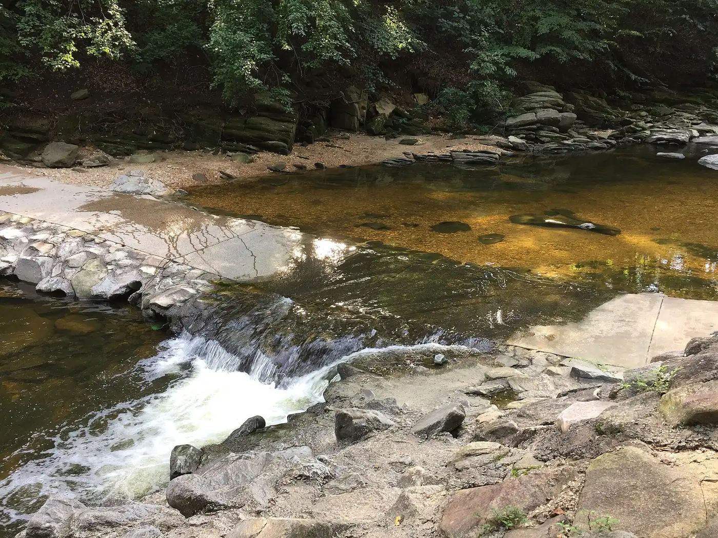
Alexandria has more than 20 miles of multi-use trails, from 5.6 miles of the Mount Vernon Trail on the Potomac to Holmes Run and the Potomac Yard Trail.
Last checked Oct. 19, 2026. Facts come from the city’s multi-use trails, walking and running trails and biking trails pages, and the National Park Service’s Mount Vernon Trail page.
Alexandria has more than 20 miles of multi-use trails, the city says, from the Mount Vernon Trail along the Potomac to the Holmes Run stream valley in the West End. They are paved paths shared by people on foot and on bikes, separated from traffic. Most link up, connecting Old Town with Arlington and Mount Vernon.
Who to call
- City trail problems, downed trees, damage: Alex311, 311 or 703-746-4311
- Mount Vernon Trail (National Park Service): ranger programs 703-235-1530; group event permits 703-289-2513
- Emergency: 911
The trails
| Trail | Length in the city | Runs between |
|---|---|---|
| Mount Vernon Trail | 5.6 miles (18 in all) | Along the Potomac, from Mount Vernon in Fairfax County north through Old Town to Theodore Roosevelt Island |
| Holmes Run Trail | 3.1 miles | Cameron Run Regional Park and the Eisenhower Avenue Trail to North Pickett, Van Dorn and Beauregard streets and Arlington; parts closed |
| Potomac Yard Trail | 2.1 miles | Braddock Road Metro north along Potomac Avenue to the Four Mile Run Trail |
| Eisenhower Avenue Trail | 1.8 miles | Cameron Run Regional Park east to near the Eisenhower Avenue Metro at Stovall Street |
| Mount Jefferson Park Trail | 1.4 miles | Commonwealth Avenue and Ashby Street southwest through Mount Jefferson Park and Greenway |
| Four Mile Run Park Trail | 1.1 miles | Links the Potomac Yard, Mount Vernon and Arlington Four Mile Run trails |
| Backlick Run Trail | 0.7 miles | Along Backlick Run to the Holmes Run network |
Mount Vernon Trail
The National Park Service runs this 18-mile paved trail from George Washington’s Mount Vernon to Theodore Roosevelt Island, beside the George Washington Memorial Parkway. About 5.6 miles are in Alexandria, where it passes the Old Town waterfront. It is open 6 a.m. to 10 p.m. year-round, and commuters can use it at any time.
- Parking: the Park Service says there is parking at every site along the trail except Lady Bird Johnson Park and the Navy-Marine Memorial. In Old Town, use a city garage; see our getting around guide.
- Bikes are not allowed on the parkway itself, only on the trail.
- Group runs, walks and commercial activity need a Park Service permit (703-289-2513).
- The trail map shows restrooms, water fountains and trash cans.
The Park Service is planning upgrades to the southern section between Alexandria and Fairfax County, with better cycling paths and crossings.
Holmes Run Trail
The 3.1-mile Holmes Run Trail follows the stream through the West End, from Cameron Run Regional Park and the Eisenhower Avenue Trail past North Pickett Street, North Van Dorn Street and North Beauregard Street toward Arlington. Parts have been closed since the 2019 flood, and the city has a repair project under way; check the city’s trails page before you set out. Nearby, walking trails wind through Dora Kelley Nature Park, 5750 Sanger Ave., home of the Jerome “Buddie” Ford Nature Center.
Potomac Yard and Four Mile Run
The Potomac Yard Trail runs 2.1 miles from the Braddock Road Metro station up Potomac Avenue, past exercise equipment and basketball and tennis courts in Potomac Yard Park, to the Four Mile Run Park Trail. That 1.1-mile trail joins the Mount Vernon Trail and Arlington’s Four Mile Run Trail. The Four Mile Run Park Trail bridge reopened in April 2024 after structural repairs.
Coming next
- Beauregard Trail: a multi-use trail along North Beauregard Street, in design since 2021.
- Old Cameron Run Trail: in design, with grant funding.
- Mount Vernon Trail improvements at East Abingdon Drive and other intersections.
Shorter walks in city parks
The city lists walking paths in more than 30 parks, including the waterfront parks (Founders, Waterfront, Oronoco Bay, Point Lumley, Windmill Hill and Jones Point), Fort Ward Park, Ben Brenman Park, Cameron Station Linear Park, Monticello Park and Timberbranch Parkway. Our parks and trails guide has addresses and hours.
Trail etiquette
Multi-use trails are designed for two-way traffic, shared by walkers, runners and cyclists. The city posts its trail etiquette on the multi-use trails page. Dogs must be leashed; see our dog-friendly guide.
What this means for you
- For the classic river ride or walk, join the Mount Vernon Trail on the Old Town waterfront.
- Check the Holmes Run closures before planning a West End loop.
- Regional maps from the Capital Trails Coalition and the East Coast Greenway show how the city’s trails connect to the wider network.
Related guides: parks and trails, getting around and free things to do.
Frequently asked questions
How long is the Mount Vernon Trail in Alexandria?
The whole Mount Vernon Trail is 18 miles, from George Washington’s Mount Vernon to Theodore Roosevelt Island. About 5.6 miles of it run through Alexandria along the Potomac.
What are the Mount Vernon Trail’s hours?
The National Park Service opens it year-round from 6 a.m. to 10 p.m.; commuters may use it at any time.
Is the Holmes Run Trail open?
Parts of it are closed. The city says portions of the 3.1-mile Holmes Run Trail have been closed since historic flooding in 2019 and are being repaired; check the city’s trails page before you go.
Where can I bike in Alexandria?
The main routes are the Mount Vernon Trail on the river, the Four Mile Run Park Trail, the 2.1-mile Potomac Yard Trail, the 1.8-mile Eisenhower Avenue Trail and the Holmes Run Trail in the West End.
Have your say