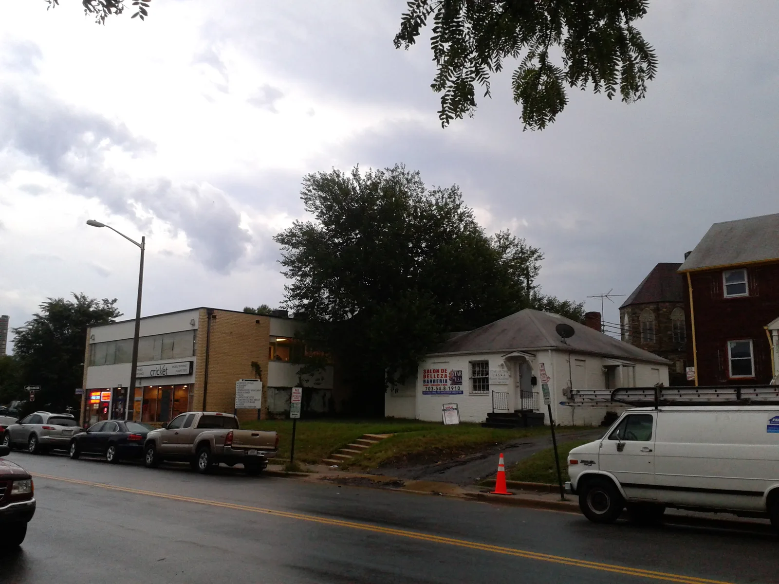
Arlandria-Chirilagua, 230 acres on Four Mile Run in ZIP 22305, is mostly zoned for Cora Kelly. Zillow's typical 22305 value: $805,548.
Last checked Oct. 19, 2026. The boundary is the City of Alexandria’s Arlandria-Chirilagua plan area, from its Small Area Plans map layer and the Arlandria-Chirilagua Small Area Plan (PDF). School zones come from Alexandria City Public Schools’ 2026-27 Attendance Zone Locator; ratings from the Virginia Department of Education’s School Quality Profiles; home values from the Zillow Home Value Index (Zillow Research); parks from the city’s parks map layer; associations from the city’s common ownership map; bus lines from DASH; stores and road distances from OpenStreetMap (© OpenStreetMap contributors).
Arlandria is the 230-acre corner of the city on Four Mile Run, across the creek from Arlington County. The City Council adopted the Arlandria-Chirilagua Small Area Plan in January 2022, taking the area out of the older Potomac West plan. Chirilagua, the second name, comes from a place in El Salvador. All of the area is in ZIP code 22305, and Mount Vernon Avenue is its commercial street.
What this means for you
- Zoned high school: Alexandria City High School (every city address)
- Typical home value, ZIP 22305: $805,548 in September 2026, according to Zillow
- Nearest interstate exit: I-395 Exit 7 (Glebe Road), about 1.2 miles by road
- Zone questions: ACPS, 703-619-8000
Where it is
Four Mile Run forms the northern edge and the city line with Arlington, and that creek accounts for more than 40% of the plan area’s outline. West Glebe Road runs along the southern and western side, and Commonwealth Avenue much of the eastern side, next to Del Ray and the Potomac West plan area. Mount Vernon Avenue crosses the middle from Glebe Road to the Four Mile Run bridge. OpenStreetMap places the name Arlandria in the middle of the area, and the older Potomac West plan placed the Hume Springs and Sunnyside neighborhoods in Arlandria.
The plan, dated December 2021, sets two aims: helping residents stay in the neighborhood and preparing it for redevelopment. It counts fewer than 250 committed affordable rental units in the area, proposes about 4 acres of new public open space with new buildings, and calls for a central plaza linking Mount Vernon Avenue to Four Mile Run Park when the Mount Vernon Village Center shopping center is redeveloped. A large portion of the area is in FEMA’s Special Flood Hazard Area along Four Mile Run, the plan says.
Schools
Under the 2026-27 ACPS boundaries, the plan area is split between four elementary zones: about 57% Cora Kelly, 19% Charles Barrett, 19% Mount Vernon and 5% George Mason. All of it is zoned for George Washington Middle.
| School | Grades | Address | State report card |
|---|---|---|---|
| Cora Kelly School for Math, Science and Technology | PK-5 | 3600 Commonwealth Ave. | School Quality Profile |
| Charles Barrett Elementary | PK-5 | 1115 Martha Custis Drive | School Quality Profile |
| Mount Vernon Community School | K-5 | 2601 Commonwealth Ave. | School Quality Profile |
| George Mason Elementary | K-5 | 2601 Cameron Mills Road | School Quality Profile |
| George Washington Middle | 6-8 | 1005 Mount Vernon Ave. | School Quality Profile |
| Alexandria City High | 9-12 | Every city address | School Quality Profile |
All are Fully Accredited, and all six are rated Approaching Expectations in the state’s latest framework ratings: Cora Kelly 81.93, Charles Barrett 84.37, Mount Vernon 82.12, George Mason 83.91, George Washington Middle 85.92 and Alexandria City High 81.16. Cora Kelly is inside the area, next to Four Mile Run Park. Check one address in the Attendance Zone Locator, and see our schools guide.
Home values
Zillow’s Home Value Index for ZIP 22305 was $805,548 in September 2026, up 2.8% from $783,494 in September 2025. The citywide figure was $662,843, up 1.0%. ZIP 22305 also takes in Potomac Yard and the north end of Del Ray, so it is a broad guide to Arlandria, where the older Potomac West plan described garden apartments as the main type of housing. The index is a modeled typical value for mid-priced homes, not a sale price. See our home prices guide.
Parks and trails
- Four Mile Run Park, 3700 Commonwealth Ave., about 50 acres along the creek, according to the plan
- Hume Springs Park, 100 Dale St.
- Elbert Triangle, 4000 Mount Vernon Ave.
- The neighborhood park at 3550 Commonwealth Ave.
- Le Bosquet at Sunnyside, 615 W. Glebe Road
More in our parks and trails guide and walking and biking trails guide.
Getting around
Distances are measured on the road network from the middle of the plan area (OSRM routing on OpenStreetMap data); they are distances, not drive times.
| To | Distance |
|---|---|
| I-395 Exit 7 (Glebe Road) | about 1.2 miles |
| Reagan National Airport | about 2.5 miles |
| City Hall, 301 King St. | about 3.3 miles |
The nearest Metrorail station is Potomac Yard, about 0.6 mile east of the plan area’s edge. Fare-free DASH buses serve it on Line 33 (King Street Metro, Commonwealth Avenue and Mount Vernon Avenue to Potomac Yard Metro), Lines 36A and 36B (Mark Center, Shirlington and Glebe Road to Potomac Yard Metro) and, on weekdays, Line 103 (Braddock Metro, Russell Road and Glebe Road to Pentagon Metro), according to DASH’s schedules. See our getting around guide.
Homeowners and civic associations
The city’s common ownership map lists three homeowners associations, two condominium associations and one cooperative in the plan area. The civic groups on the map are the Hume Springs Citizens Association and the Sunnyside-Lenox Place Neighborhood Association. The city says associations last updated their own entries in 2015.
Groceries and everyday stores
- MOM’s Organic Market, 3831 Mount Vernon Ave.
- FoodStar, on West Glebe Road
- Tiger Market, on Mount Vernon Avenue
- Mount Vernon Village Center, the shopping center on Mount Vernon Avenue
- Giant, 2901 S. Glebe Road, just across Four Mile Run in Arlington
How to check an address
Look up the parcel on the city’s real estate search, then check the school on the Attendance Zone Locator. Our property tax guide has the city rate. Our neighborhoods guide maps every plan area in the city.
Frequently asked questions
Where is Arlandria in Alexandria?
In the northeast corner of the city, between Four Mile Run, which is the Arlington County line, and West Glebe Road, with Mount Vernon Avenue running through it. It is in ZIP code 22305.
What school is Arlandria zoned for?
About 57% of the Arlandria-Chirilagua plan area is zoned for Cora Kelly School for Math, Science and Technology under the 2026-27 ACPS boundaries, with smaller parts zoned for Charles Barrett, Mount Vernon and George Mason. All of it is zoned for George Washington Middle.
What is the typical home value in Arlandria?
Zillow’s Home Value Index for ZIP 22305 was $805,548 in September 2026, up 2.8% from a year earlier. The ZIP code also covers Potomac Yard and parts of Del Ray, and the figure is a modeled value, not a sale price.
How big is Four Mile Run Park?
The city’s Arlandria-Chirilagua plan puts Four Mile Run Park at about 50 acres. Its address on the city’s parks map is 3700 Commonwealth Ave.
Have your say