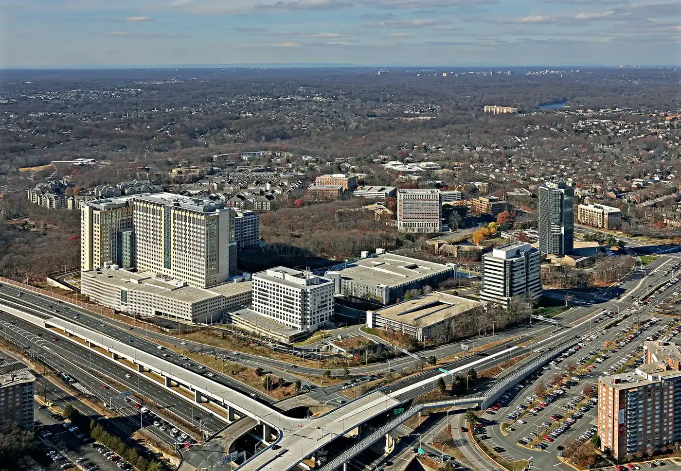
Alexandria West, nearly 1,300 acres west of I-395 along Beauregard Street, is mostly ZIP 22311. Zillow's typical 22311 value: $691,732.
Last checked Oct. 19, 2026. The boundary is the City of Alexandria’s AlexWest plan area, from its Small Area Plans map layer and the AlexWest Small Area Plan (PDF). School zones come from Alexandria City Public Schools’ 2026-27 Attendance Zone Locator; ratings from the Virginia Department of Education’s School Quality Profiles; home values from the Zillow Home Value Index (Zillow Research); parks from the city’s parks map layer; associations from the city’s common ownership map; bus lines from DASH; place names, stores and road distances from OpenStreetMap (© OpenStreetMap contributors).
Alexandria West, which the city calls AlexWest, is the plan area west of I-395, along North Beauregard Street. The City Council adopted its plan in December 2024, and the plan puts it at nearly 1,300 acres. It is mostly in ZIP code 22311, and it is zoned for three elementary schools and one middle school.
What this means for you
- Zoned high school: Alexandria City High School (every city address)
- Typical home value, ZIP 22311: $691,732 in September 2026, according to Zillow
- Nearest interstate exit: I-395 Exit 4 (Seminary Road), about 1 mile by road
- Zone questions: ACPS, 703-619-8000
Where it is
I-395 (the Henry G. Shirley Memorial Highway) forms the eastern edge, next to Seminary Hill. More than half of the outline is the city line, with Fairfax County to the west and Arlington County to the north. North Beauregard Street runs the length of the area, crossed by Seminary Road, West Braddock Road, King Street, North Hampton Drive, Kenmore Avenue and Dawes Avenue. OpenStreetMap names Fort Ward Heights, Washington Forest and Alexandria West inside it. The Mark Center sits at Seminary Road and I-395.
The plan says more than half of the area’s housing units were built in the 1950s and 1960s, and that 23% of the area is not within walking distance of a public park. It plans the West End Transitway along Beauregard Street and a new transit facility at the Southern Towers apartments, where bus stops now sit in parking lots.
Schools
Under the 2026-27 ACPS boundaries, about 47% of the area is zoned for John Adams Elementary, 26% for William Ramsay Elementary and 24% for Ferdinand T. Day Elementary. Nearly all of it, 98%, is zoned for Francis C. Hammond Middle.
| School | Grades | Address | State report card |
|---|---|---|---|
| John Adams Elementary | K-5 | 5651 Rayburn Ave. | School Quality Profile |
| William Ramsay Elementary | PK-5 | 5700 Sanger Ave. | School Quality Profile |
| Ferdinand T. Day Elementary | K-5 | 1701 N. Beauregard St. | School Quality Profile |
| Francis C. Hammond Middle | 6-8 | 4646 Seminary Road | School Quality Profile |
| Alexandria City High | 9-12 | Every city address | School Quality Profile |
All five are Fully Accredited. In the state’s latest framework ratings, John Adams (83.05), Ferdinand T. Day (80.93) and Alexandria City High (81.16) are Approaching Expectations, and William Ramsay (78.36) and Hammond (79.27) Need Intensive Support. Check one address in the Attendance Zone Locator, and see our schools guide.
Home values
| ZIP code | Share of area | September 2026 | September 2025 | Change |
|---|---|---|---|---|
| 22311 | about 60% | $691,732 | $686,539 | up 0.8% |
| 22312 | about 22% | $620,533 | $616,641 | up 0.6% |
| 22302 | about 11% | $422,471 | $430,517 | down 1.9% |
The figures are Zillow’s Home Value Index, a modeled typical value for mid-priced homes, not a sale price. Zillow files ZIP 22312 under Lincolnia in Fairfax County, so most of what it measures is outside the city. The citywide figure was $662,843 in September 2026, up 1.0%. See our home prices guide.
Parks and trails
- Dora Kelley Nature Park and the Ford Nature Center, 5750 Sanger Ave.
- William Ramsay Recreation Center, 5700 Sanger Ave.
- Winkler Botanical Preserve, 5400 Roanoke Ave., privately owned with public access
- Chambliss Park, 2505 N. Chambliss St., and the Rynex Natural Area, 1500 N. Chambliss St.
- James Mulligan Park, 3000 S. 28th St.
- The Holmes Run scenic easement along North Beauregard Street
More in our parks and trails guide and walking and biking trails guide.
Getting around
Distances are measured on the road network from the middle of the plan area (OSRM routing on OpenStreetMap data); they are distances, not drive times.
| To | Distance |
|---|---|
| I-395 Exit 4 (Seminary Road) | about 1 mile |
| I-395 Exit 3 (Duke Street) | about 1.5 miles |
| City Hall, 301 King St. | about 5.1 miles |
| Reagan National Airport | about 6 miles |
There is no Metrorail station in the area. Fare-free DASH buses, according to DASH’s schedules:
- Line 31: NVCC and King Street to King Street and Braddock Road Metro
- Line 35: Van Dorn Metro, Yoakum Parkway and Beauregard Street to Pentagon Metro
- Lines 36A and 36B: Mark Center, Shirlington and Glebe Road to Potomac Yard Metro
- Line 102 (weekdays): Mark Center, Seminary Road and Janneys Lane to King Street Metro
See our getting around guide.
Homeowners and civic associations
The city’s common ownership map lists 14 condominium associations and four homeowners associations in the plan area. Civic groups on the map include the Seminary West Civic Association and the Lincolnia Hills-Heywood Glen Civic Association. The city says associations last updated their own entries in 2015.
Groceries and everyday stores
- Harris Teeter, 4550 King St.
- Aldi, 4602 Kenmore Ave., and CVS Pharmacy, 4606 Kenmore Ave.
- Al-Amal Super Market, 3817 S. George Mason Drive, and Marhaba Market, 3819 S. George Mason Drive, just outside the plan area
- Giant, 6200 Little River Turnpike, just across the city line in Fairfax County
How to check an address
An “Alexandria” mailing address near here can be in Fairfax County. City parcels are on the city’s real estate search, so look the address up there first. Then check the school on the Attendance Zone Locator. Our property tax guide has the city rate, and our neighborhoods guide maps every plan area in the city.
Frequently asked questions
What is AlexWest?
AlexWest is the City of Alexandria’s name for the Alexandria West small area plan, adopted in December 2024. It covers nearly 1,300 acres west of I-395, along North Beauregard Street, Seminary Road and King Street.
What schools serve Alexandria West?
Under the 2026-27 ACPS boundaries, about 47% of the plan area is zoned for John Adams Elementary, 26% for William Ramsay and 24% for Ferdinand T. Day. Nearly all of it is zoned for Francis C. Hammond Middle.
What ZIP code is Alexandria West?
Mostly 22311, with parts in 22312, 22302 and 22304. ZIP 22312 is mostly in Fairfax County, so check the parcel before assuming an address is in the city.
What is the typical home value in Alexandria West?
Zillow’s Home Value Index for ZIP 22311 was $691,732 in September 2026, up 0.8% from a year earlier. It is a modeled value, not a sale price.
Have your say